As part of the NASA New Investigator Program “Understanding flood risk in human altered landscapes from cities to farms: inferences from satellites and machine learning” led by P.I. Dr Beth Tellman, in May 2023, I traveled to Bangladesh with Beth and two other colleagues from the Social Pixel Lab.
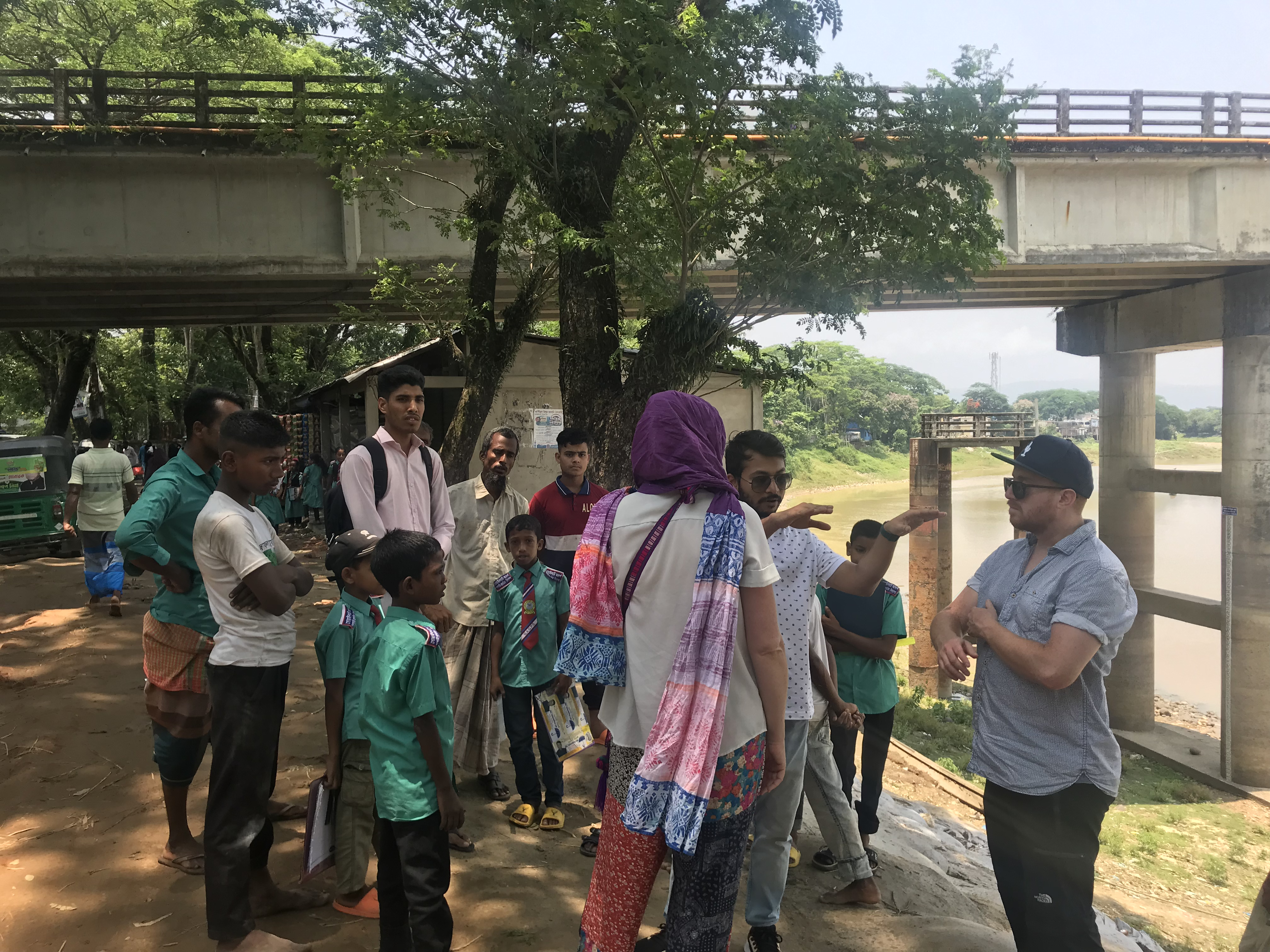
Visiting flood affected communities in Sylhet and Sunamganj
In the northeast of the country, we visited flood prone locations and spoke with communities - many of which grow rice for subsistence and small business - who were affected by the devastating floods of summer 2022. We met the people responsible for taking the river gauge water level readings and saw how local people adapt to floods with raised elevation housing and changes to their farming practices.

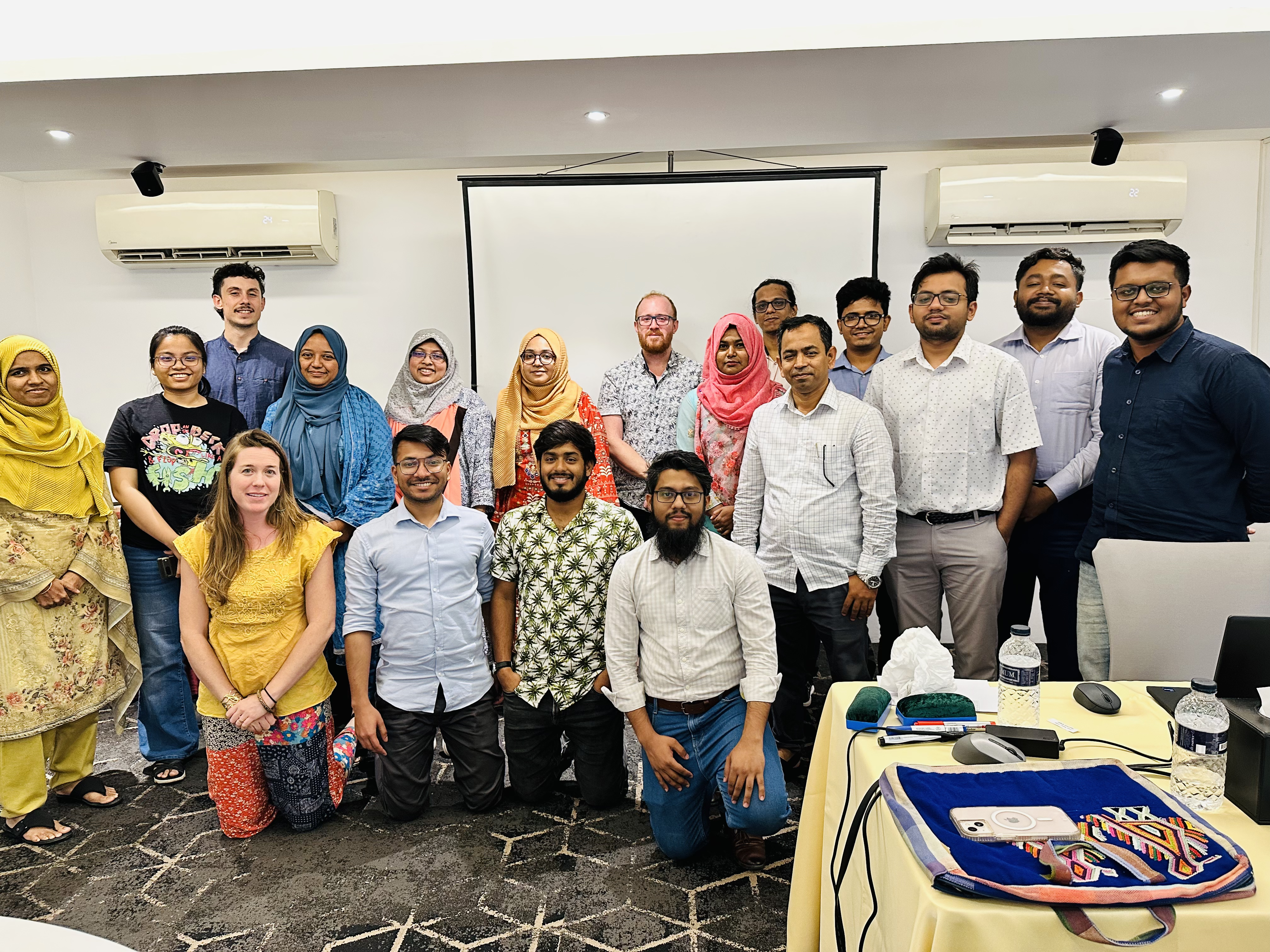
Flood resilience conversations and technical capacity building
In the capital city of Dhaka, we delivered two workshops to invited participants from organizations spanning the public and private sectors, covering current flood resilience activities of local and national organizations, and a technical capacity building session on extracting flood insights from satellite data.
Links to all satellite flood data training resources are available at this link.

